


01 December 2022
|
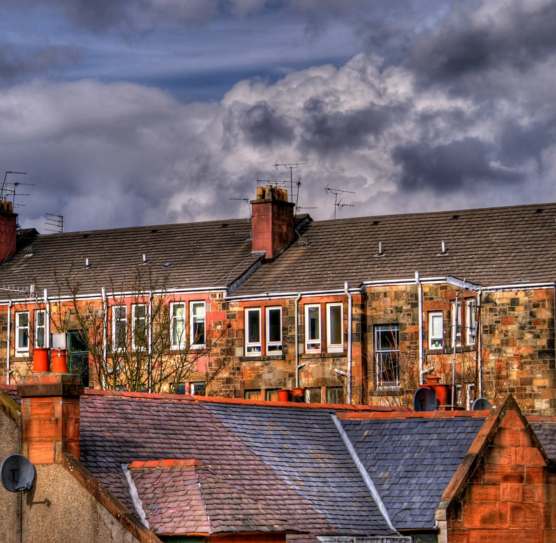 Glasgow tenements by Kenny Muir
Paul Bishop, chair of the Scottish Local History Forum, shares his tips on comparing and contrasting old and new maps to get an idea of how your street has changed and what was there before it was a street.
We invited Paul Bishop of the Scottish Local History Forum to contribute to our #StoryOfOurStreet project.
Paul writes:
My top tip for street history is to use the National Library of Scotland (NLS) maps website. The site has many old maps, dating right back to the earliest mapping of Scotland, but these early maps won’t be useful for individual streets.
Therefore, the best bets for this are:
Estate Maps
The NLS might have scanned an estate map that includes your house – mine is on a farm plan from an 1805 set of estate plans.
Ordnance Survey Maps
With Ordnance Survey maps and using the ‘Explore georeferenced maps’ feature on the NLS maps website here, you can overlay old OS maps dating from the late 19th century onto a modern aerial image and slide between them seeing how your street and your house might have changed (or what was there before, if your street is more recent than the late 19th century)

Combining maps and directories
Your map research can be combined with searching local Post Office Directories on the NLS’s general website at this link. Here, you will find more than 700 digitised directories covering most of Scotland’s towns between 1773 and 1911.

They can be searched by place, year and resident’s name – a veritable gold mine of information. My house, in the rural countryside a couple of miles out of Milngavie, is listed under Milngavie and so don’t assume that just because you’re in a rural area you won’t be listed. Good luck.
Originally published June 2020. Reviewed December 2022.
